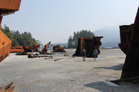
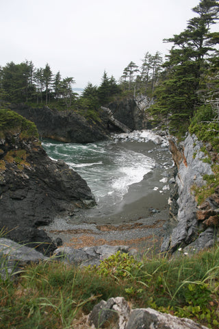
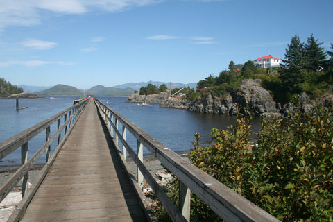
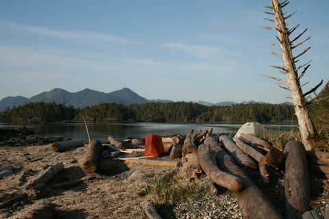
The Nootka Trail is one of the great coastal hikes in British Columbia. It starts at Louie Bay on the north side of the island and ends at historic Yuquot. Between it is mostly beach hiking, making for a comparatively relaxing three or four day journey. A reasonable schedule is Third Beach, Calvin Falls, Beano Creek, Yuquot then out via Yuquot. Arrival can be arranged in any number of combinations, but plan on a float plane or a water taxi to Louie Bay, and a water taxi or the Uchuck III out at Yuquot. It makes sense to leave and return to the same location, so a water taxi on both ends from Tahsis or a combination of float plane and Uchuck III to and from Gold River are probably smart choices. The Mowachaht/Muchalaht First Nation charges a per person access fee in the range of $45, payable on passage through Yuquot. It is not a particularly demanding trail, as the overland sections are short and well-maintained, with the beach walking varying between good sand to small boulders or rock ledge. Boulder hopping will be about as difficult as it gets, though hiking gravel beach can sap your energy. Whatever the hardships, the scenery and natural environment compensate and make this an exceptional destination.
Louie Bay: Float planes will land in the lagoon, making a very short hike to Third Beach, the traditional first night of camping. Those arriving by water taxi are usually dropped at the northwest entrance of the bay, meaning a few extra kilometres of tough overland hiking to get to Third Beach. From the dropoff location, head along the tidal flat and along the narrow rock storm channel, then clamber alongside a stone ridge to find the trailhead.
Calvin Falls: This waterfall is set amidst the longest, prettiest, sandiest and generally most beautiful location on Nootka Island. It is a traditional camping spot for hikers with a rope up the waterfall face to reach the potholes above for a soak. By contrast Skuna Bay to the north is steep and rocky and makes a poor camping area. Plan your itinerary accordingly, as it may seem an ideal distance for the first night for those dropped off by water taxi.
Bajo Point: This is the outer southwest point of Nootka Island, which is protected by Bajo Reefs to keep surf to a minimum. The beach here is pebble heading east, but small boulder north to Calvin Falls. Here or Beano Creek are good camping areas. A small village was located here, with house depressions still visible.
Maquinna Point: This is a beautiful stretch of rocky coastline when viewed from either water or land. Here the trail leads upland from the beach at Callicum Creek (a good camping location) to stay on the rocky upland till near Yuquot. Frequent lookouts, beach accesses and sea caves make this a wonderful stretch of shore. The trail will drop back down to the beach near a tidal lagoon that might require either a swim or a wait for lower tides if wrongly timed. The beach is then cobble for the exit at Yuquot.
Yuquot: This is the historic Nuu-chah-nulth village central to the late 18th century European fur trade. The only Spanish fort in North America was located here, built in 1789 on the outer rock islet beyond the Nootka Island lighthouse. A marker commemorates the location today. The fort overlooked a Spanish colony, Santa Cruz de Nuca, the first European colony in British Columbia. British Captain George Vancouver and Spanish Captain Juan Francisco de la Bodega y Quadra held talks here that led to the Nootka Convention and the end of the threat of war between the two countries. All this made the Nootka chief, Maquinna, a famous man, though the name is simply the honorific title of the Mowachaht head chief; his actual name was apparently never recorded. Once home to as many as 1,500 people in 20 longhouses, today it has just a single modern home. A landmark is the little church, a replacement for the 1889 structure that burned down in 1954. Stained-glass windows were a gift from the Spanish government, and the interior is adorned with traditional Mowachaht carvings. Fees are collected here for hiking the Nootka Trail and camping is offered in the clearing overlooking Friendly Cove. A trail leads westward along the embankment above the ocean, providing some scenic viewpoints as well as access to several cabins available for rent from the Mowachaht. Along the way is a historic cemetery.
Exploring other areas: North Nootka Island and the various waterways offer exceptional opportunities for water exploration. The most popular kayaking destination is Nuchatlitz Marine Provincial Park off the northwest corner of Nootka island. A variety of small islands offer a choice of beautiful locations to camp, while trips can be extended into Nuchatlitz Inlet where some fine camping beaches can be found, particularly at Benson Point. Another key location is Catala Island Marine Provincial Park. It is more exposed in the mouth of Esperanza Inlet toward the open ocean and so can be more challenging to reach. There are several good beaches for camping with some wonderful sea stacks and complex shoreline to explore. These all fell out of the main map for this chapter; check out the Wild Coast guide book series for complete information on paddling these areas.


