Wild Coast Publishing
213 West Coast Trail South Trail and Marine Map
213 West Coast Trail South Trail and Marine Map
Couldn't load pickup availability
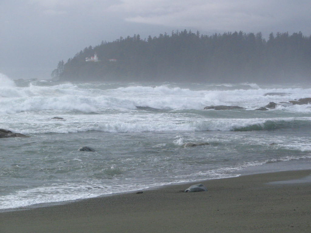
About the West Coast Trail: The West Coast Trail is a 78-km wilderness corridor along an exposed stretch of coast known for its rugged inaccessibility, storms and wild rainforests. Improvements to the trail over the years by Parks Canada, such as ladders and boardwalks, have tamed it somewhat, but it continues to be one of the more difficult and challenging routes along the Pacific coast. With limited road access through the region it remains largely a wilderness area, with just Bamfield, Nitinat and Port Renfrew providing access points. The following information is provided to augment the Parks Canada information provided at the trailhead orientation sessions, as well as to provide the basics for trip planning (and inspire you, of course!). Be sure to see mapsheet #212 for details needed to best complete this hike.
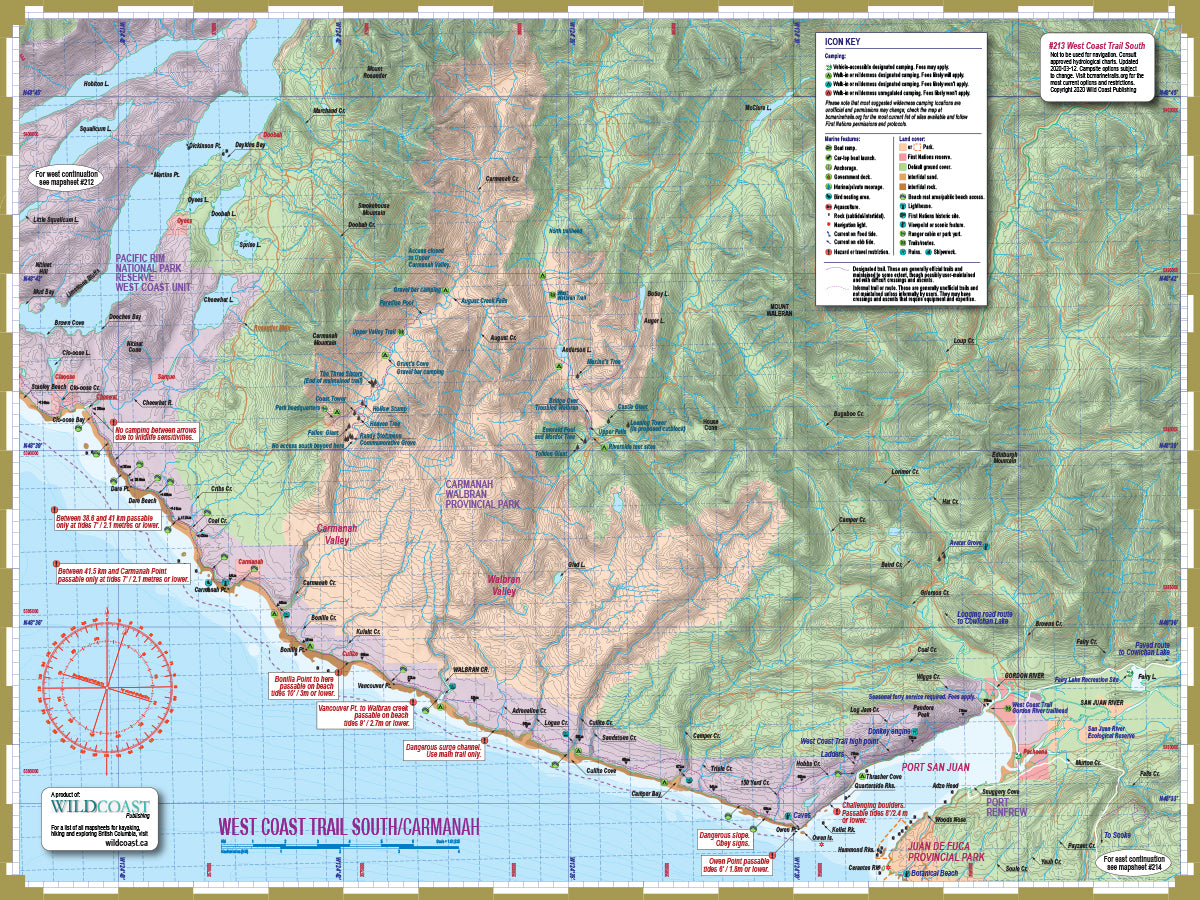
About this mapsheet: This mapsheet covers the West Coast Trail as a hiking resource, and expands the coastal route into a regional overview including Carmanah and Walbran Valleys, for those who want to turn a trail hike into a larger exploration of the region. But it is also a marine mapsheet to facilitate a coastal transit as part of the Wild Coast marine mapsheet series that when complete will provide an unbroken overview of the entire British Columbia coastline. As such it is part of the hybrid Wild Coast marine and trail mapsheet series. It should be coupled with Mapsheet #212 West Coast Trail North to complete the trail in its entirety.
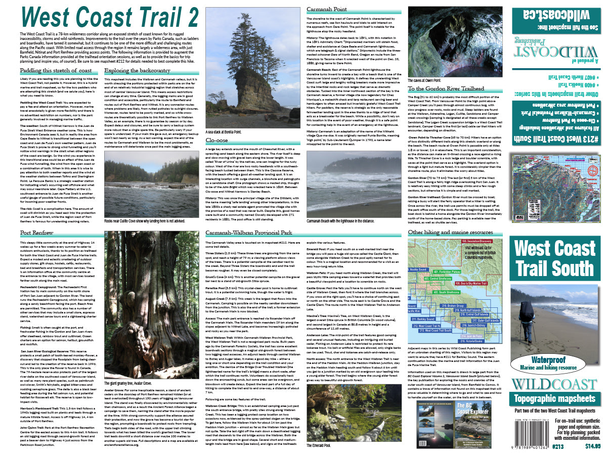
The mapsheet layout: The main map sheet covers the West Coast Trail from Carmanah to the Port Renfrew trailhead. It also includes all of Carmanah Provincial Park and the trails through both Carmanah and Walbran, plus local spots of interest including Avatar Grove. The reverse trail planning information, details of the trail by segment and details of the larger region including Walbran Valley and general paddling advice for managing this open stretch of coastline.
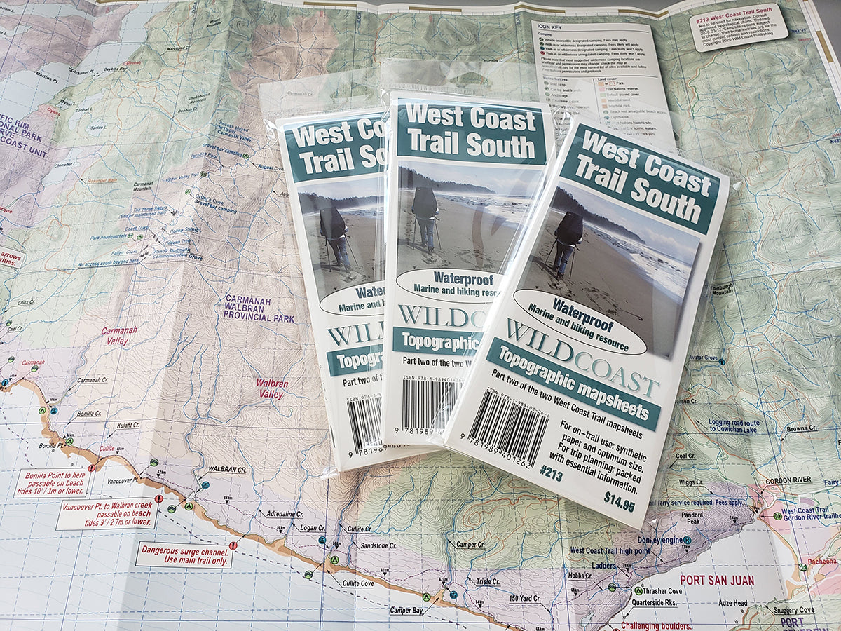
The mapsheet construction: The mapsheet is created by Wild Coast Publishing using some of the latest technology available to provide a high-quality printed image on waterproof/durable synthetic polymer stock. The stock is picked as the best for the purpose, and is significantly thicker than most papers at 10 mil weight.
About the hybrid trail/marine mapsheet series: Wild Coast Publishing is creating mapsheets to cover the BC coastline in its entirety, but several areas are more likely travelled by foot than paddle due to on-water conditions and remote access. The result is a marine mapsheet likely to be more appealing to hikers and land explorers than marine travellers -- a strange outcome for a marine mapsheet. So with that in mind, we're creating it with a dual purpose. You can find similar dual purposes for mapsheets such as #209 Pacific Rim, #205 Nootka Island/Nootka Trail and #206 Hesquiat Peninsula.
New! All 200-series mapsheets now include UTM grid lines. Learn to understand and make the most of them.
Don't forget the guide book: The perfect companion to the mapsheet is the BC Coast Explorer Vol. 2, which goes into much greater details about the features, attractions travel logistics and history.
About the Wild Coast map series: In 2019, Wild Coast Publishing began an ambitious program to provide an unbroken series of mapsheets covering the entire BC coastline. The series begins with mapsheet #201 Brooks Peninsula and extends in order down the outer Vancouver Island and up the southern BC coast then finally north through the Inside Passage. You can view the currently available list of mapsheets here. The maps are designed for paddlers and boaters, right down to the size -- a handy 24x18", slightly smaller than a traditional street map and so easy to manage when on the water. Use it as a "deck topper" for easy visualization as you travel on the water, use it around the campfire or your anchorage at night to plan your next day's route, and at home for research when your journey is still in the dream stage.
Get the West Coast Trail pack: Two mapsheets are needed to complete the entire trail. Buy both in a bundle and save.
Shipping information: Please read the information in the link before ordering, as doing so will help determine if you will receive your order in time for your trip. See shipping alerts and shipping policy details here.
Share