


Wild Coast Publishing
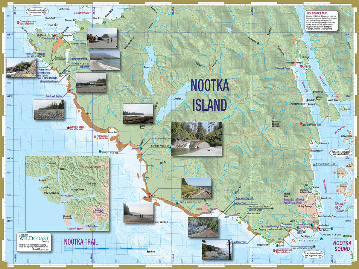
406 Nootka Trail Topographic Hiking Map
406 Nootka Trail Topographic Hiking Map
Couldn't load pickup availability
Updated for 2025. All 2025 editions purchased through online orders will be shipped with a clip to maintain the folds rather than a plastic wrapper to reduce plastic consumption.
Features:
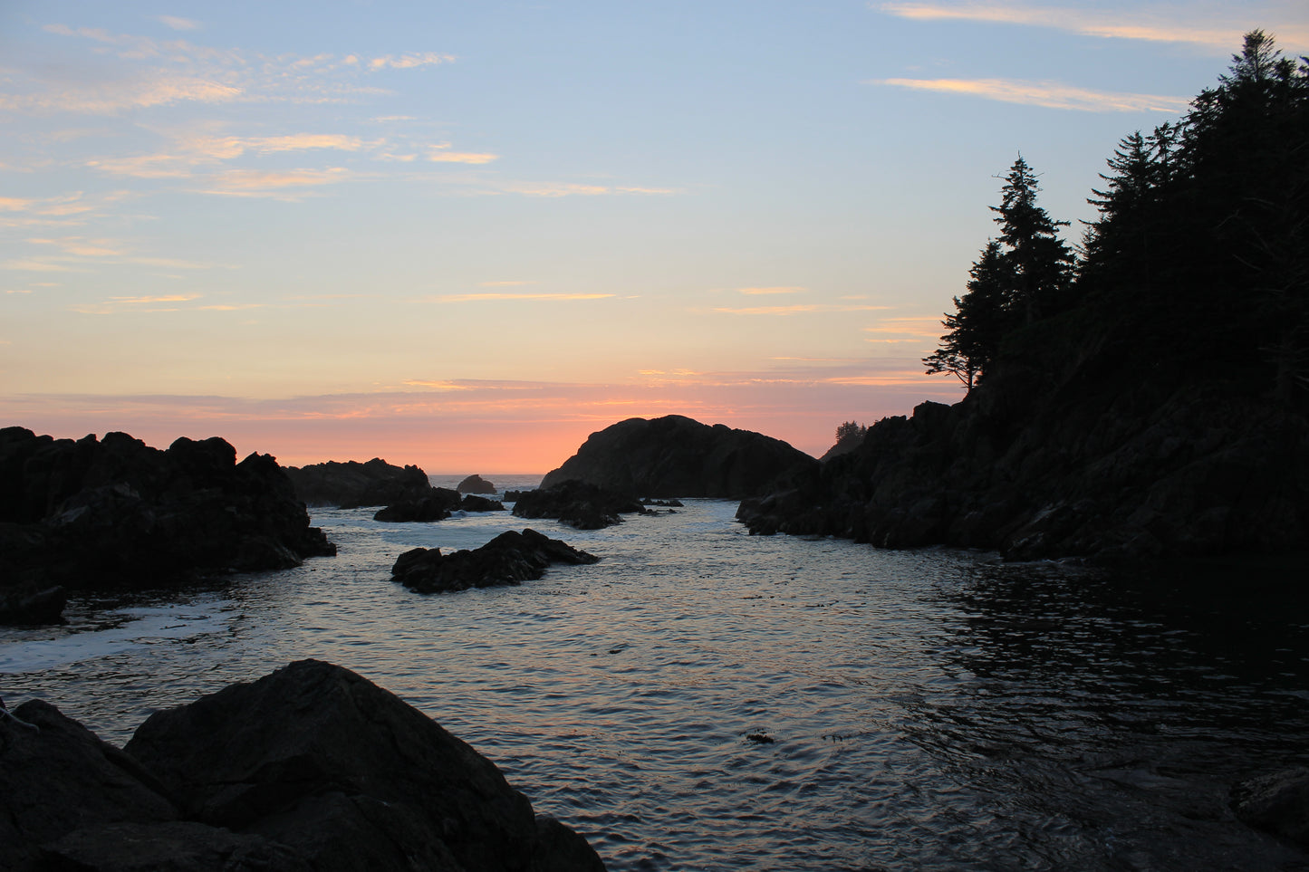
- Includes full coverage of the Nootka Trail.
- All land and marine features of interest, including campsites, launch points, rest stop, attractions and hazards.
- UTM grid lines for easy distance calculations. Learn to understand and make the most of them.
- Our in-house printing allows frequent product updates to ensure the latest information.
- Printed on extremely waterproof/durable 10-mil stock when 4.3-mil stock is the norm.
- Planning and logistical information is included to help make your adventure come to life.
- Optimal size and format for use both at home for planning and during your hike.
- Augment your GPS navigation with a handy visual overview as you travel and as you plan your next day's agenda. In combination you will be well prepared for your adventure.
- Use alone without electronic assistance by hiking the traditional way without reliance on batteries or connectivity. Truly disconnect!
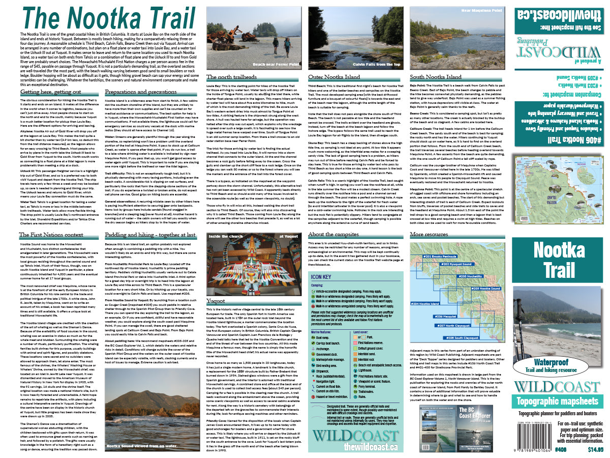
Don't forget the guide book: The perfect companion to the mapsheet is the BC Coast Explorer Vol. 1, which goes into much greater details about the features, attractions travel logistics and history.
Shipping information: Please read the information in the link before ordering, as doing so will help determine if you will receive your order in time for your trip. See shipping alerts and shipping policy details here.
Share
Get free shipping! Order two to three items with this order instead of just this one and we'll ship them to you at no cost!