Wild Coast Publishing
600 West Coast Vancouver Island Expedition 11-Pack
600 West Coast Vancouver Island Expedition 11-Pack
Couldn't load pickup availability
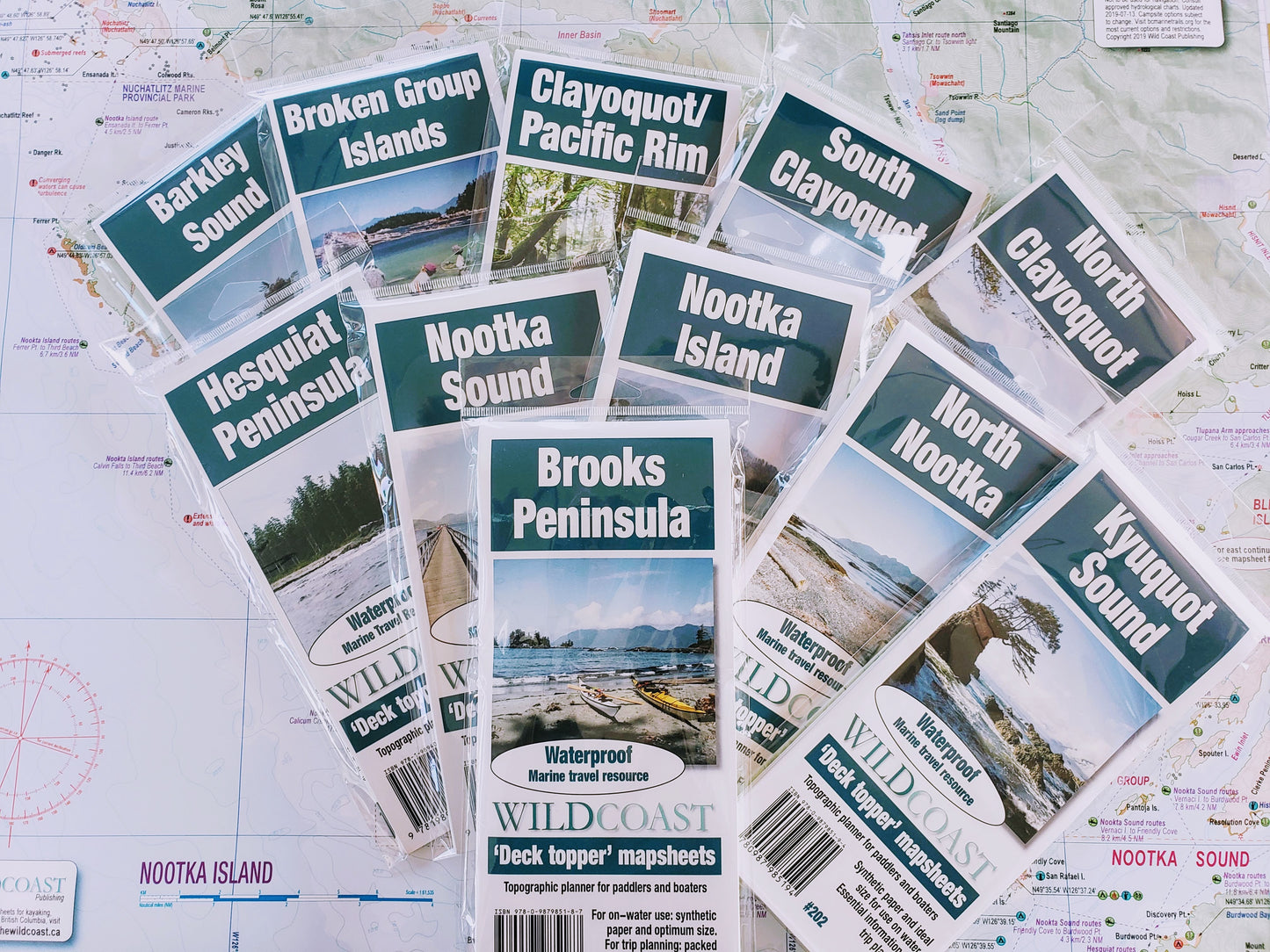
This package assembles all eleven West Coast Vancouver Island 'Deck Topper' mapsheets into one bundle. This is designed for transits from Brooks Peninsula to Bamfield, or for regular users of these popular desinations including Kyuquot, Nootka and Clayoquot Sounds as well as the Broken Group Islands and Barkley Sound. To complete the route from Port Hardy around North Vancouver Island, just add mapsheet #106 as a separate item. Included are:
#201 Brooks Peninsula
#202 Kyuquot Sound
#203 North Nootka Sound
#204 Nootka Island
#205 Nootka Sound
#206 Hesquiat Peninsula
#207 North Clayoquot Sound
#208 South Clayoquot Sound
#209 Clayoquot/Pacific Rim
#210 Broken Group Islands
#211 Barkley Sound
The series is designed to work together with overlaps to ensure a beneficial regional perspective from all maps and no chance of having to navigate between mapsheet edges.
About the Deck Topper Kayaking and Boating map series: Starting in 2019, Wild Coast Publishing is embarking on an ambitious program to provide an unbroken series of waterproof/highly durable mapsheets covering the entire BC coastline. The series begins with mapsheet #201 Brooks Peninsula and extends in order down the outer Vancouver Island coast before covering the entire south BC coast. You can view the initial mapsheets to be offered here. The maps are designed for paddlers and boaters, right down to the size -- a handy 24x18", slightly smaller than a traditional street map and so easy to manage when on the water. Use it as a "deck topper" for easy visualization as you travel on the water, use it around the campfire or your anchorage at night to plan your next day's route, and at home for research when your journey is still in the dream stage.
Shipping information: See shipping alerts and shipping policy details here.
Share

Get free shipping! Order two to three items with this order instead of just this one and we'll ship them to you at no cost!
